What is the CAP?

 Yesterday we were under a slight risk for severe weather. Why didn’t the storms fire? As mentioned, the cap was pretty strong. If the cap (layer of warm air) contains temperatures that are too warm, then the air underneath can’t continue to rise through it to produce clouds, then rain, then storms. See the balloon instrumentation sounding from Norman at 7pm yesterday. That area outlined to the right of the blue line represents the CAP. The blue line is a parcel of air that would travel upwards in this environment along that track, but when it starts at the ground and runs into that area circled starting around 8,500 ft, it can’t go any higher, so we end up with more sun than clouds and no rain. Happens all of the time around here with these conditional setups. If storms did manage to develop, there would be plenty of instability as noted by the LI and CAPE values to produce severe weather.
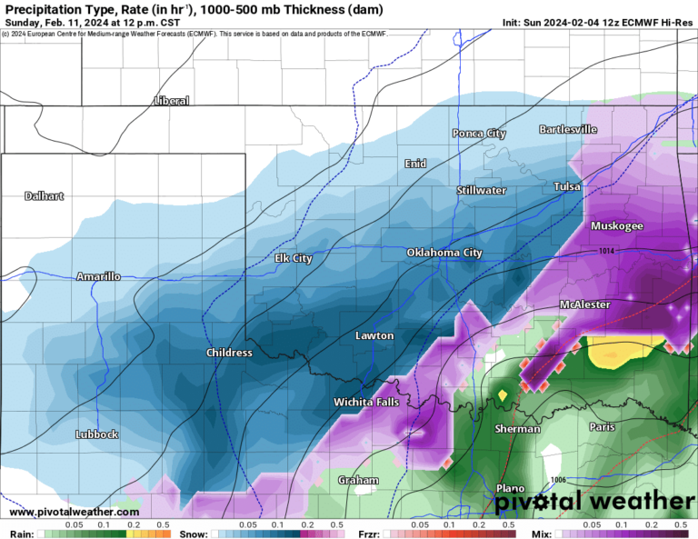
The CAP is the most problematic index to forecast by the models largely in part because our balloon sounding network is not dense enough to sample the entire atmosphere. The grid needs to be smaller but the process is expensive and cumbersome. Other virtual sensors are being developed and tested to see if we can fill in these gaps. One of these is down at OU but has been temporarily relocated to DFW to help with the CASA radar project. This sensor also proves quite helpful in winter weather precip type forecasting for the same reason noted above. An older example of this data is included below.