Severe Weather Returns and Getting Cooler
We’ll have a few opportunities for rain this week, and you’ll notice our temperatures will begin to drop.
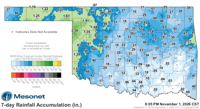
Last week, western Oklahoma received more of that beneficial rain it has desperately needed.

Ferguson Roof Systems is offering an AT's Weather special!
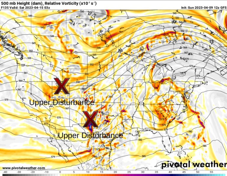
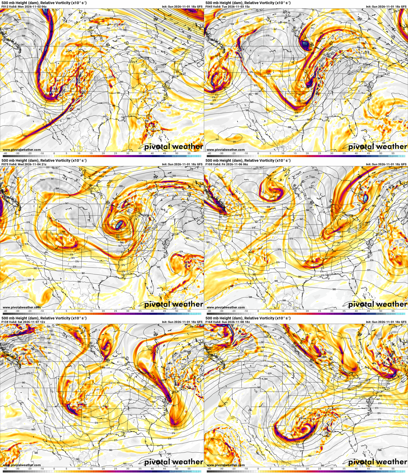
The Jetstream pattern this week shows a strong upper trough to move through Monday, followed by a weak one Thursday, and another system for the weekend.
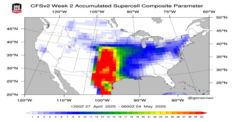
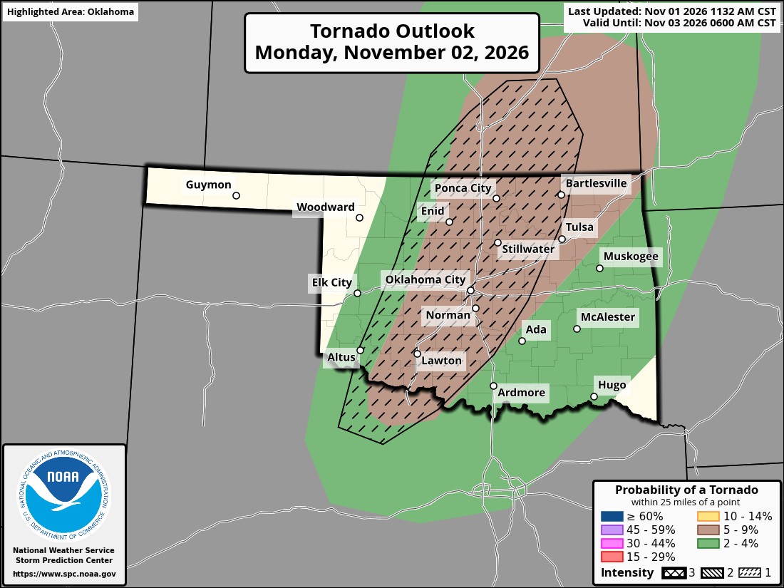
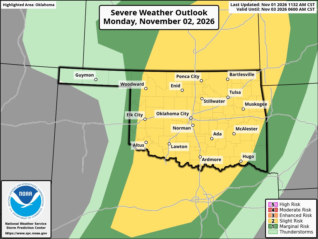
There will be quite a bit of significant shear in the atmosphere to work with on Monday, so that creates an environment for severe storms. All three hazards will be possible. The Storm Prediction Center and AI models are shown below for the risks.
 Restoration and Disaster Cleanup Service
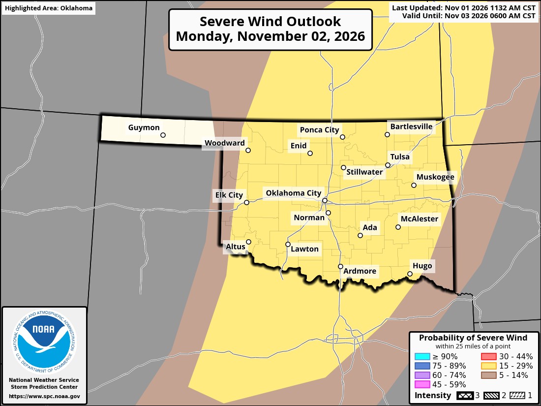
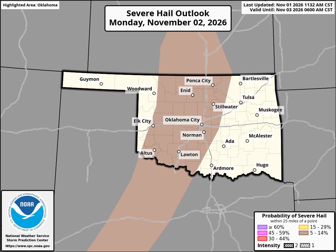

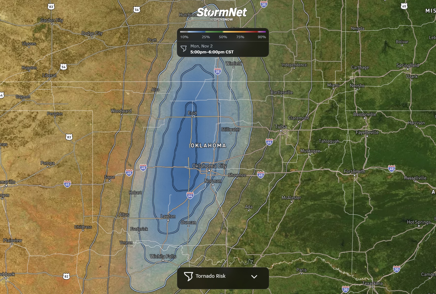
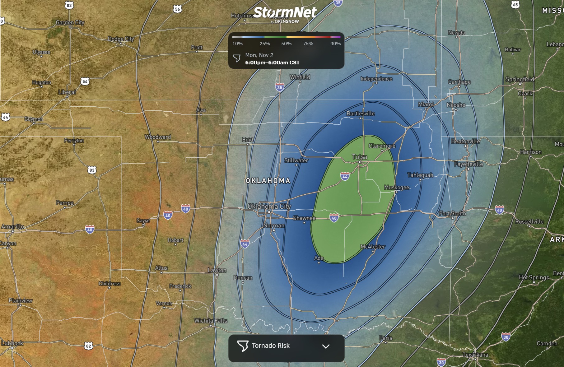
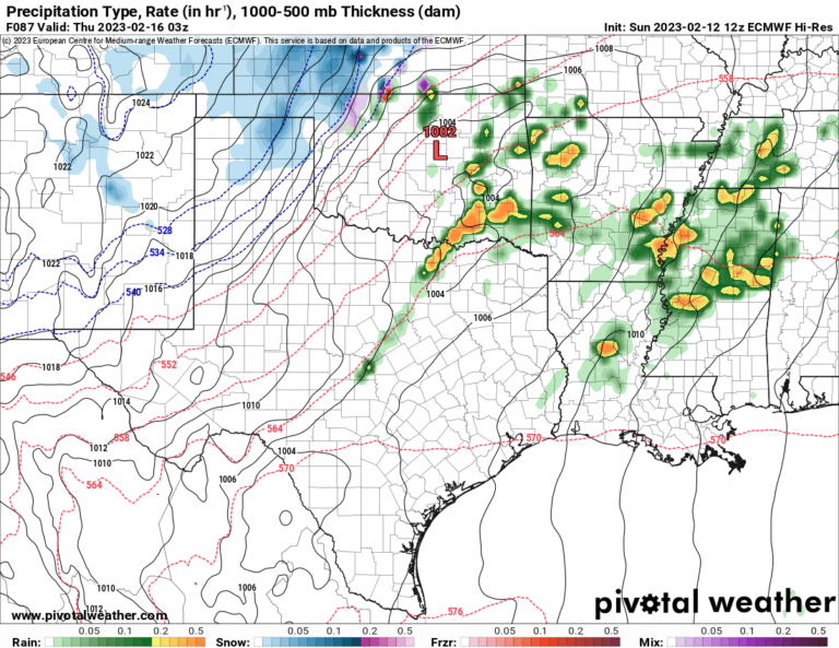
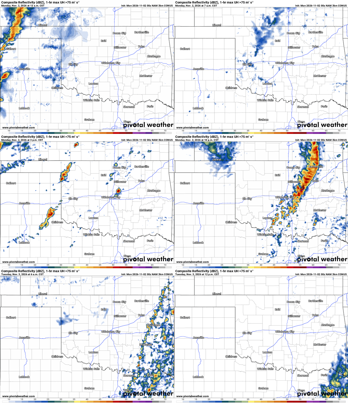
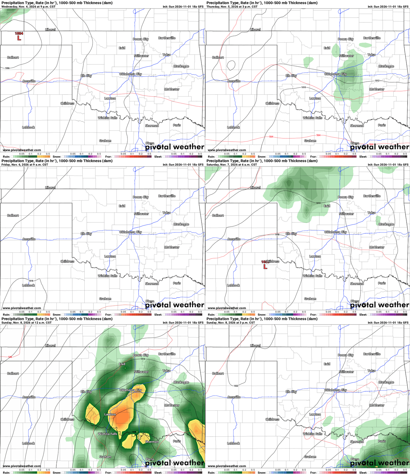
The short-term model animation shows decaying showers and storms for Monday morning, followed by additional development after lunch, then a final wave late Monday afternoon and evening. The models favor more of a squall line for the late-day activity, which will likely produce more QLCS-type tornadoes. The system Thursday will bring a few showers to the state, and the weekend has a majority support for rainfall Saturday into early Sunday.
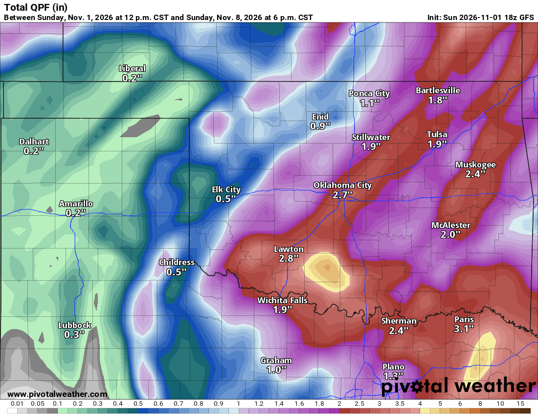
Rainfall amounts should be significant for a large area for the week’s total.
Ferguson Roof Systems is offering an AT's Weather special!
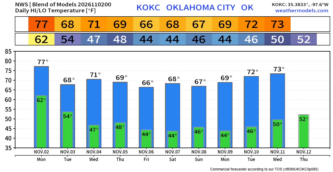
Temperatures look to be quite a bit cooler now. So you may have to bring any sensitive plants indoors or start prepping them for the winter season.