Standard August Pattern
I apologize for the late blog this week. I’ve been in St. Louis for work. Our brief break from the heat over last weekend was greeted with more heat this week, but some rain is returning.
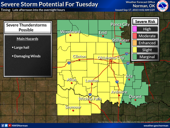
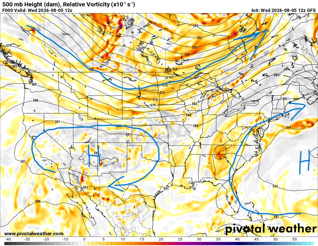
We’re in a NW flow aloft as the upper ridge stays centered across the mountains. This puts us in the ring of fire, where weak disturbances can cross over and show up at any time to produce a cluster of showers and storms. They typically occur across Colorado and Kansas, and the residual moves down into Oklahoma. Sometimes only affecting the northern counties, and sometimes they can keep going to cover a larger area of the state. Timing is always difficult, as the signals can show up the day of or day before an event. They can also drive in weak frontal boundaries as a focus for storms.
 Restoration and Disaster Cleanup Service
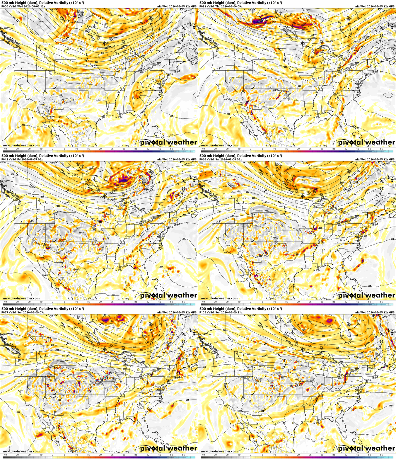
The Jetstream animation shows the brighter colors moving through off/on through next week. Expect most days to be dry. In the short-term, the signal is there for this afternoon/evening activity coming out of Kansas and into N OK. Thursday, the signal spreads more south, and Friday might have some residual activity.
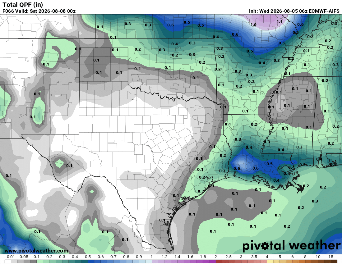
The AI Euro model shows how the coverage of the rain is spread across the state. Higher probabilities across the N/NE. There are some hi-res models that bring significant rain across C OK Thursday and Friday, but sometimes they suffer from convective feedback. So the signal is there, but the output is taken with a grain of salt. I’m always hopeful for any rain this time of year.
Be sure to mention Aaron Tuttle when you call (405) 820-1193!
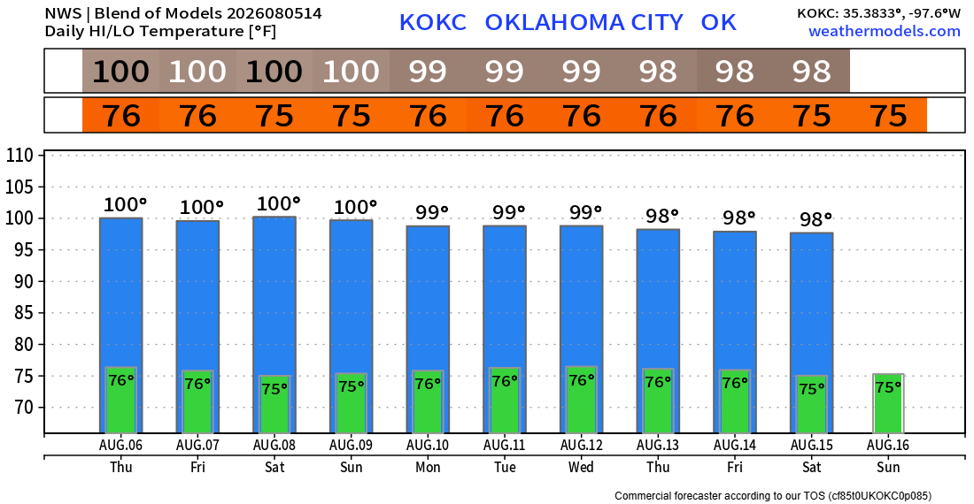
Temperatures will hold about where they are in this pattern. Standard August. -AT