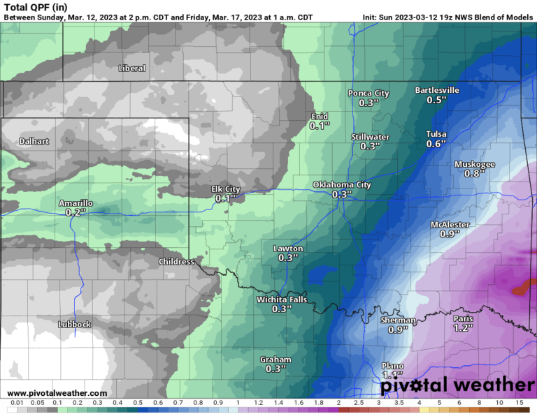
Fall Temperatures, Rainy Sunday, and Cool Thanksgiving
We are returning to more Fall-like temperatures this week. Our next rain-making system will move through Saturday night into Sunday evening. And finally, the pattern becomes a little more chaotic during Thanksgiving week.
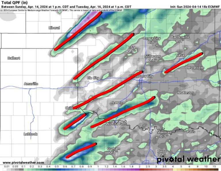
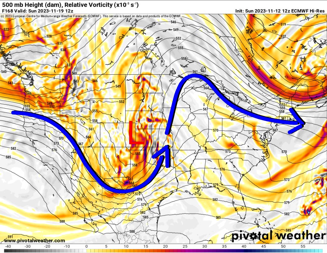
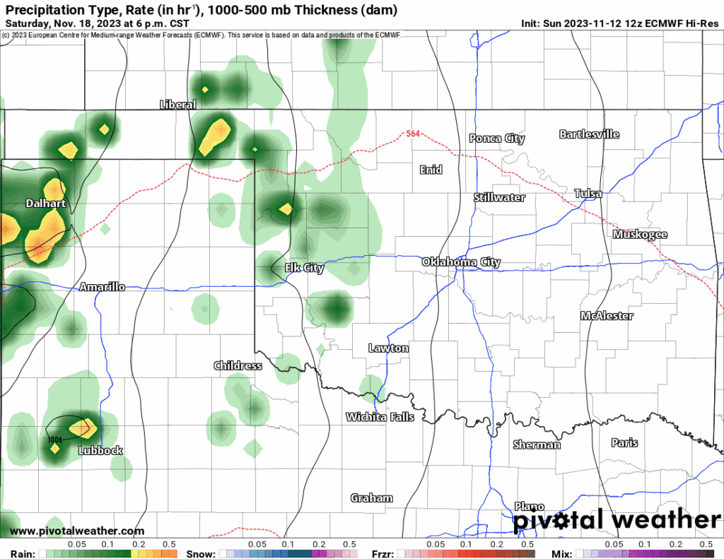
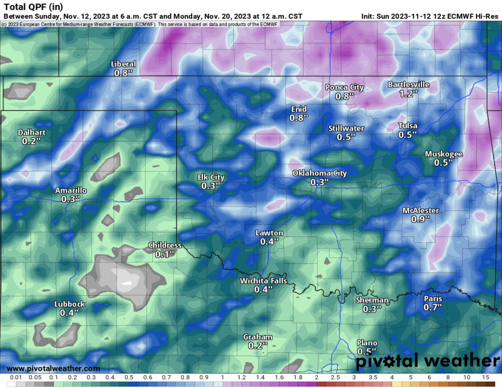
The first significant change in our weather won’t happen until late in the upcoming weekend. Take a look at the Jetstream map below. The “L” marks the upper level low that will move through bringing the lift and moisture with it. Tap the rainfall map to play the animation. So do your outdoor stuff on Saturday. Rainfall amounts could be decent as well.

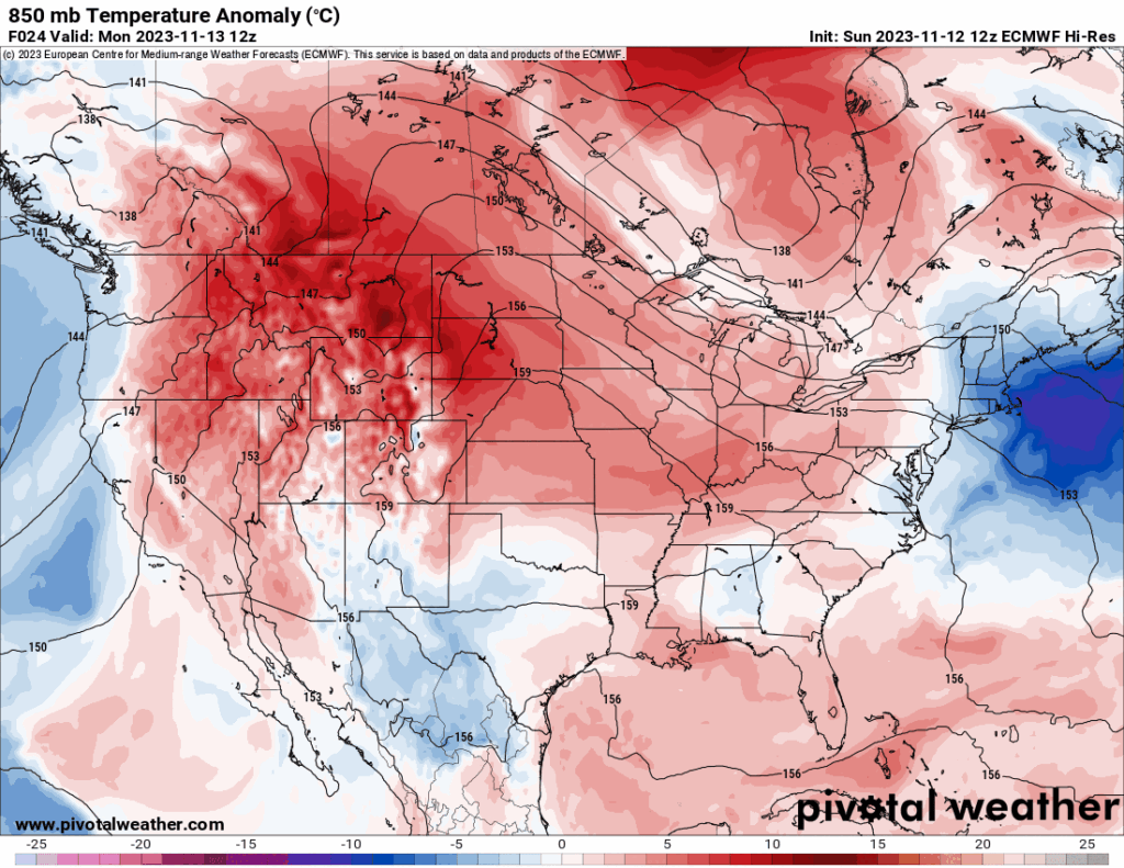
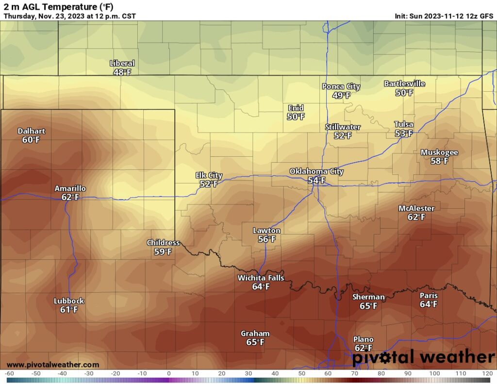
The upper pattern introduces a lot of chaos for Thanksgiving week. This gives the individual medium-range computer models a fit on how to handle the temperature swings. I’ll side with the European for this period. Note in the animated map below how the red colors, which for our region are temperatures slightly above normal, change over to blue by Thanksgiving week. This indicates much cooler air for our holiday. The American model is taking a stab at it indicating mostly cloudy skies with light winds and temperatures in the mid-50s for Thanksgiving Day.
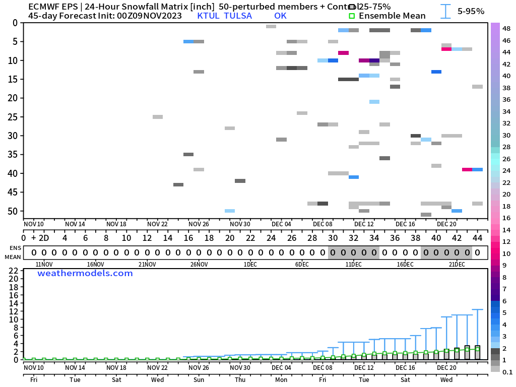
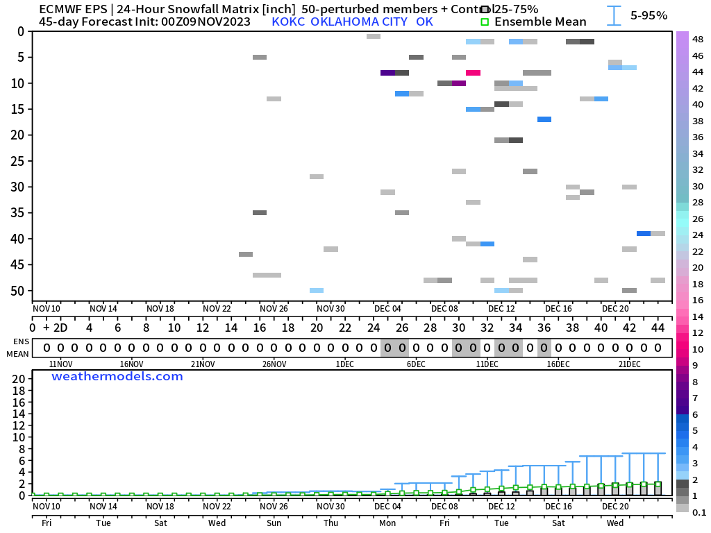
This is the time of year we start looking at winter weather potential. We discussed the snowy outlook for our winter in my last blog. If you missed it, be sure to go back and get caught up. One of the images I showed was the European long-range snow indicator in the ensemble data. The updated version still indicates a peppering of weak snow signals centered mostly around the second week of December. At this point, we make a note of the noise and watch it over the coming days to see if the signal intensifies. If it does, that means model confidence is increasing and it will be time to start putting it in the forecast.
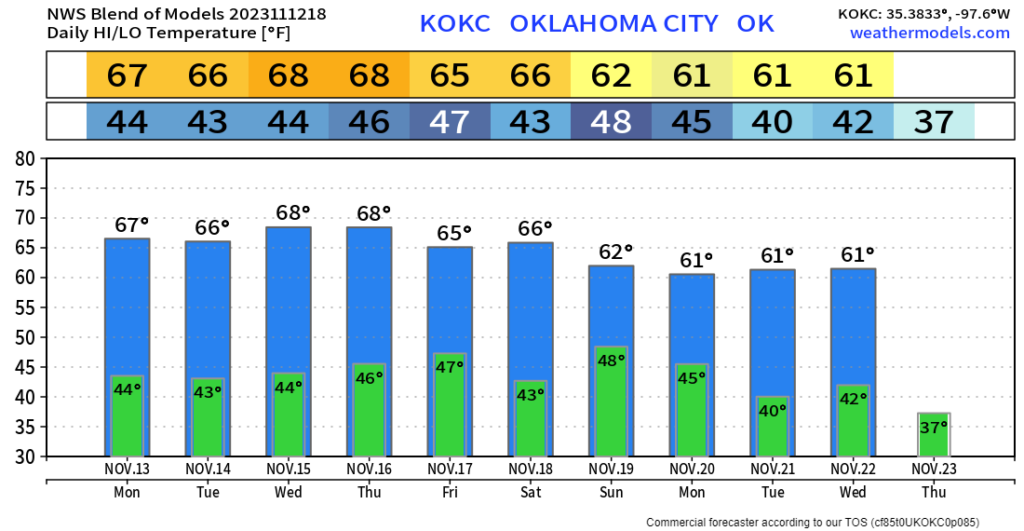
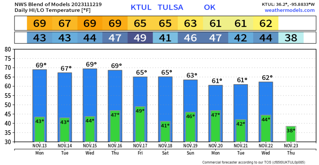
The other day a lady from Tulsa was upset that I only included OKC in some of my images. So I’ll show you Tulsa below. You will notice there isn’t much of a difference. That goes for the weather in general. OKC is just the center part of the state which the forecast is centered around. The difference in temperatures on a normal day isn’t that different from one town to another. In the winter subtract a couple of degrees north of I-40 to the state line and add a couple down south to Texas. In the summer, it’s add a few degrees west of I-35 to Texas and subtract a few degrees east to Arkansas. I always outline big events with dramatic changes to different areas as needed. As a final reminder, you can always use my free weather app, ATsWeatherToGo, to get your backyard weather forecast as well. Speaking of temperatures, I posted the week for both OKC and Tulsa. Now you see why I just show the one map typically. Have a great week! -AT
