Drought Update and Taste of Spring
The cold weekend is going to rebound into a taste of early Springtime temperatures this week. Another weak cold front will move in on Thursday and the recent rains have helped the drought.
A couple of blogs ago I mentioned how we’ll still get a few cold shots for the 2nd half of February and even March but nothing like that one week we experienced. Although there is still plenty of cold air up across the Pole and Alaska, the pattern just doesn’t support multiple waves of cold fronts tapping into it for us. We’ll likely get another strong front at the end of the month, however. March may be a little warm after that front for a bit, but the 2nd half is cooler than normal. More on that later.

Ferguson Roof Systems is offering an AT's Weather special!
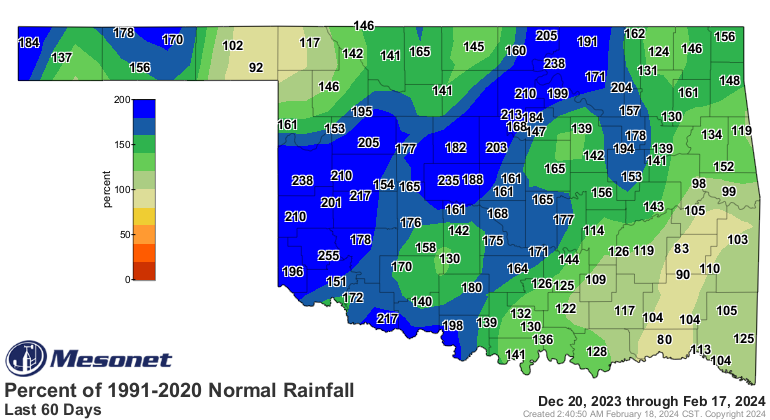
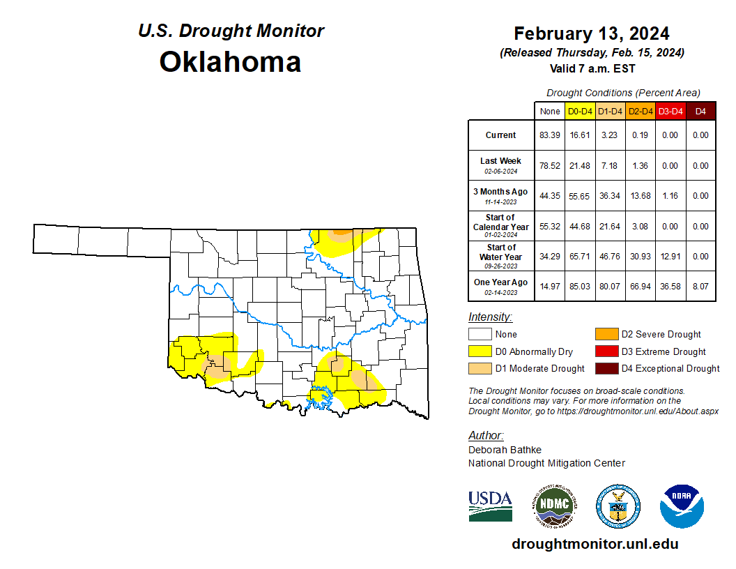
As far as what is normally a growing drought over Oklahoma during the Winter season, ours has reversed thanks to the strong El Nino. Take a look at the percent normal rainfall for the state over the past 2 months. Incredible! This has just about erased the drought over most of Oklahoma.
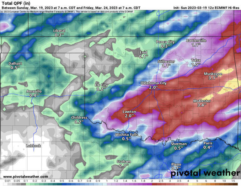
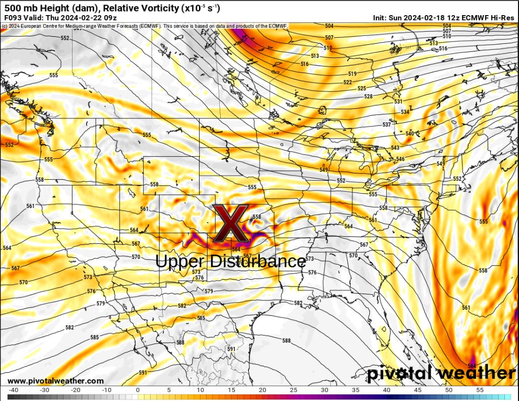
Concerning rainfall this week, this little upper-level system will drag in a weak front Thursday morning and produce a few showers with it across far N/NE OK. Otherwise fairly quiet this week.

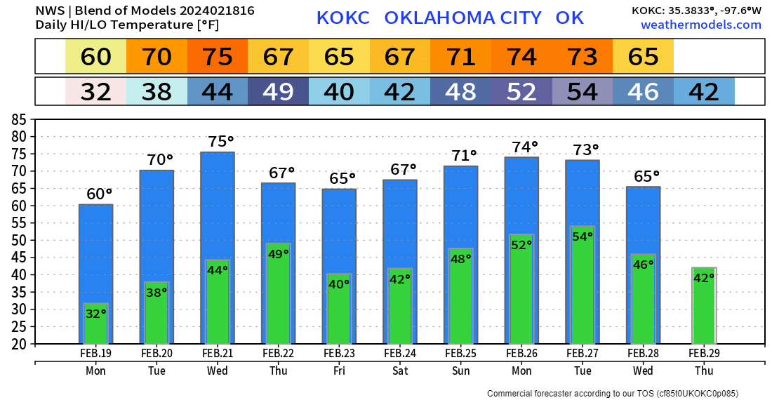
Temperatures across the state are going to warm up nicely this week. I encourage you to use my free weather app, ATsWeatherToGo, for your daily forecast needs for your backyard. The OKC temperature trend is posted below.