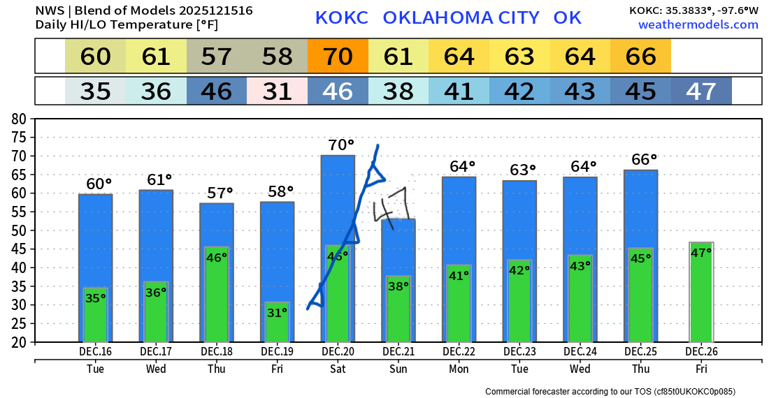
70s Return, Very Dry, and Your Christmas Preview
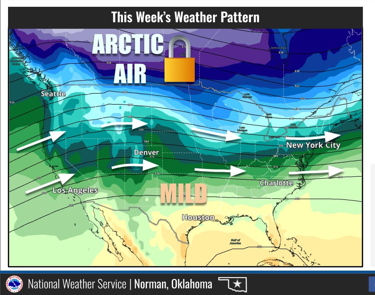
We do have some quiet weeks in the winter season. This will be one of them. The pattern is also changing to a warm one for the holidays.
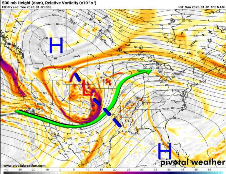
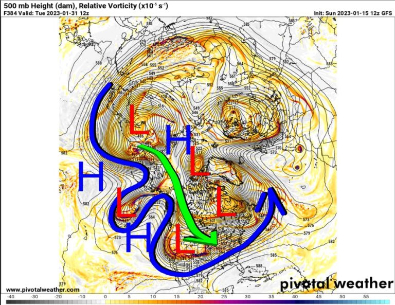
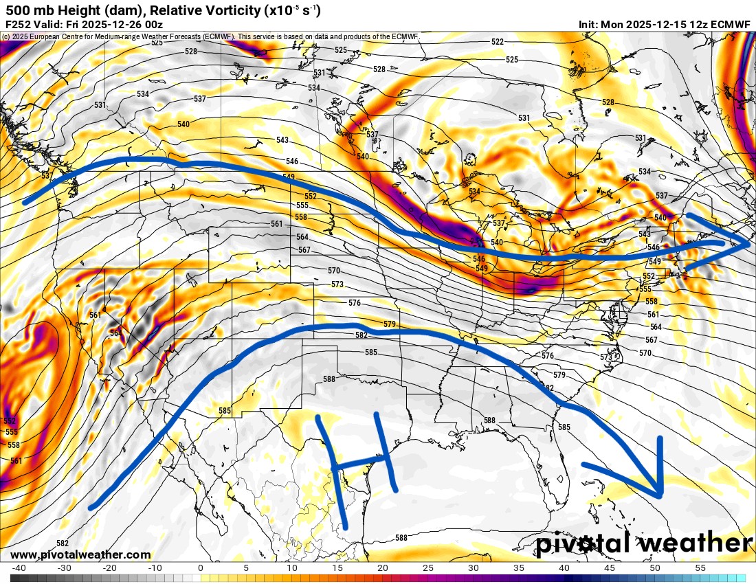
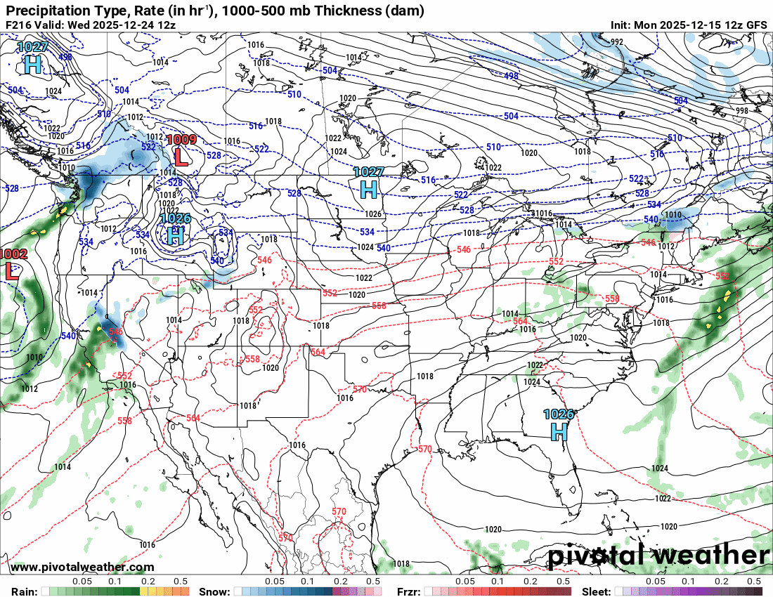
The Jetstream shows a storm system moving through the nation’s midsection on Thursday. This will drive in a weak cold front and some rain. As the animation plays out, you’ll notice an upper ridge builds across the Gulf and into the southern states. This is a warm pattern for us here in Oklahoma. So Santa will be wearing shorts and a t-shirt to deliver the goodies this year. The mostly horizontal flow aloft also keeps most of the cold in Canada, up there with only a few weak shots making it down here from time to time.
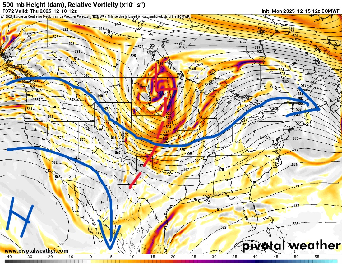
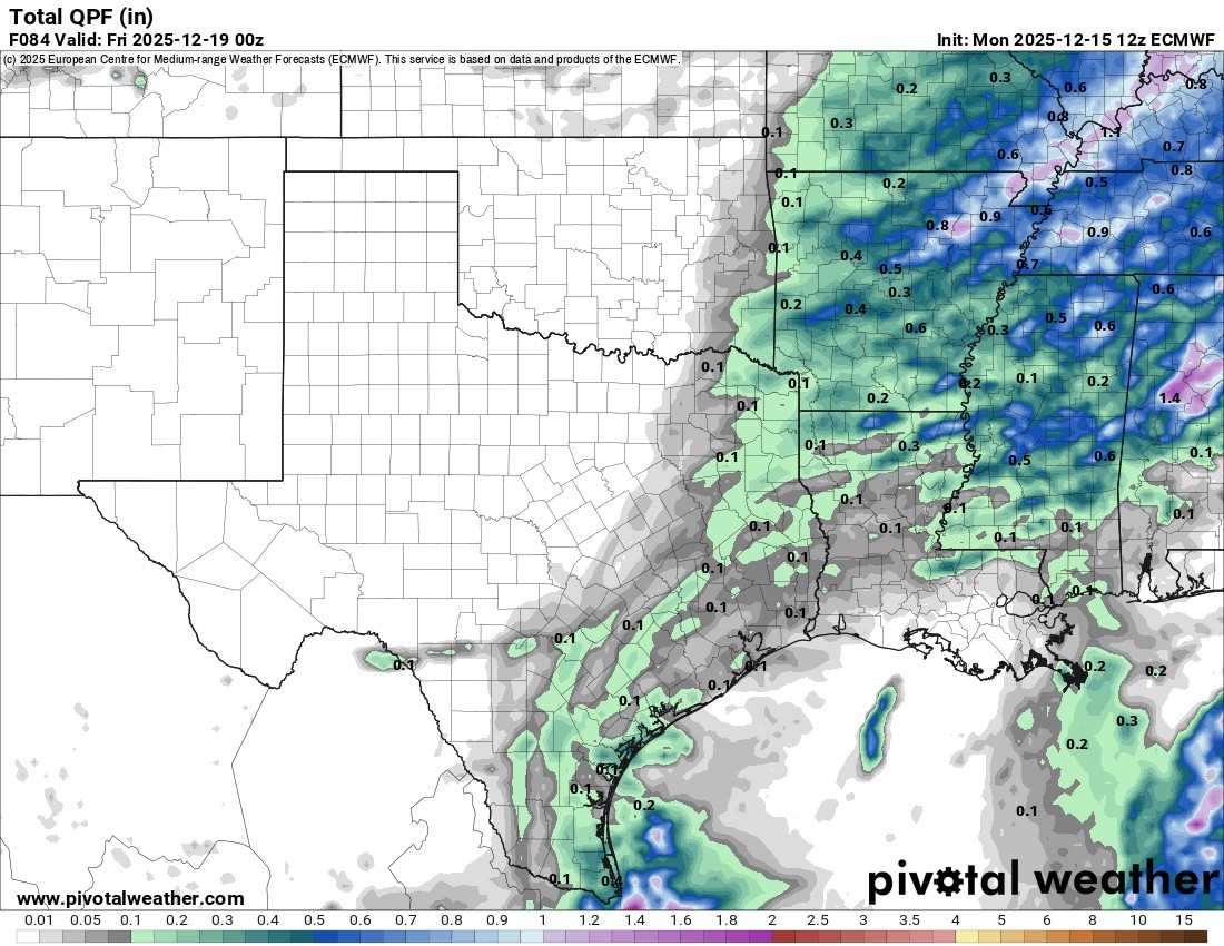
The cold front on Thursday will trigger a few showers across far eastern Oklahoma and across Arkansas. The next front after that one late Saturday will come in dry, but tap into much colder air for Sunday.
The pattern is also a dry one for many. If you are traveling elsewhere for Christmas, this short animation from Christmas Eve through Friday shows that most of the action will be in the northeast and across the Rockies.

Be sure to mention Aaron Tuttle when you call (405) 820-1193!
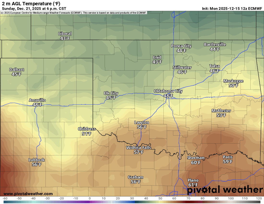
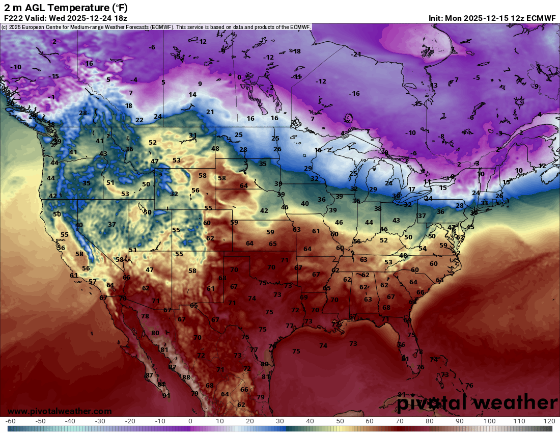
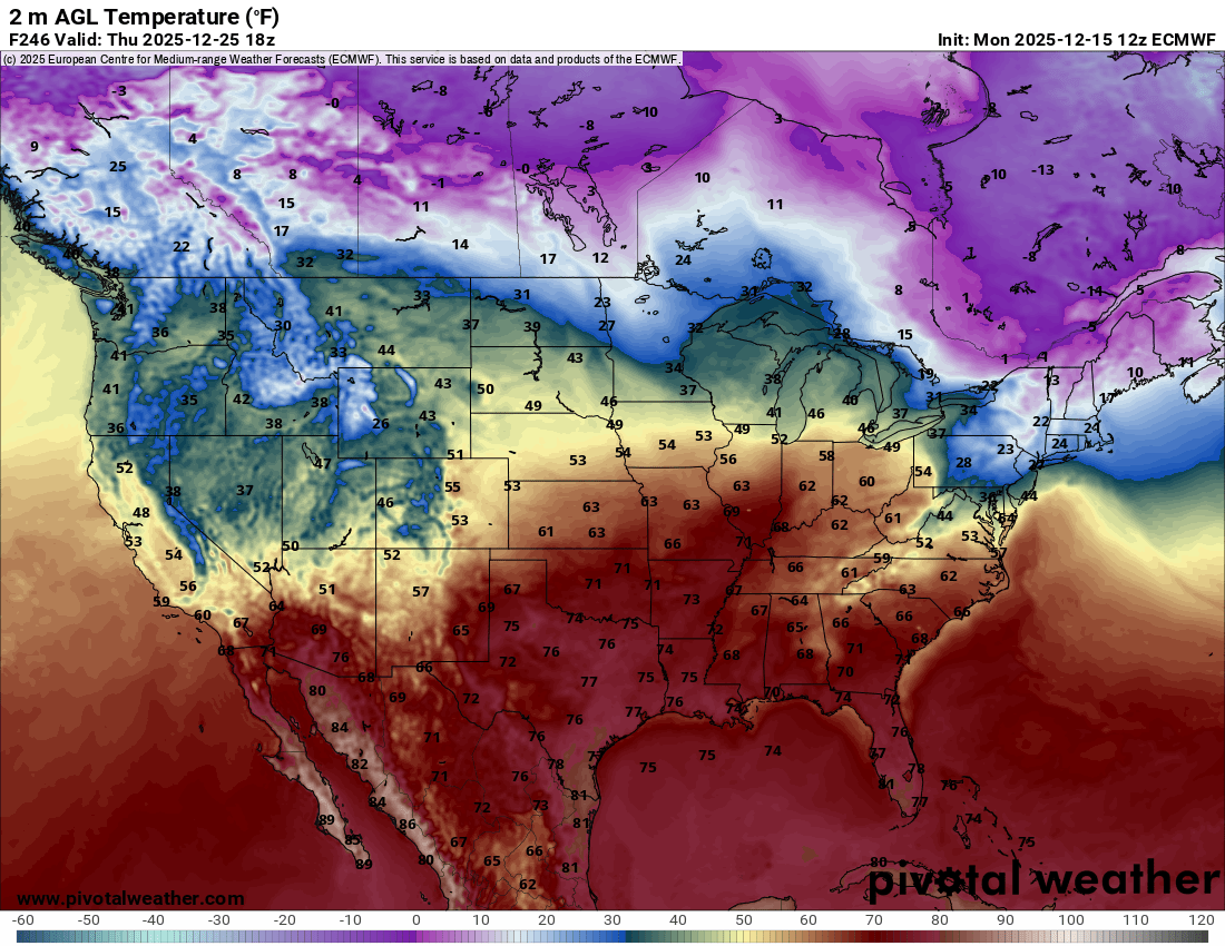
Temperatures will be quite mild across the south. The European model is favoring the 60s and 70s for Oklahoma for Christmas Eve and Christmas Day.
Take advantage of the warmer weather to do some fun outdoor things this holiday season! -AT

Ferguson Roof Systems is offering an AT's Weather special!