MCS Season Continues This Week
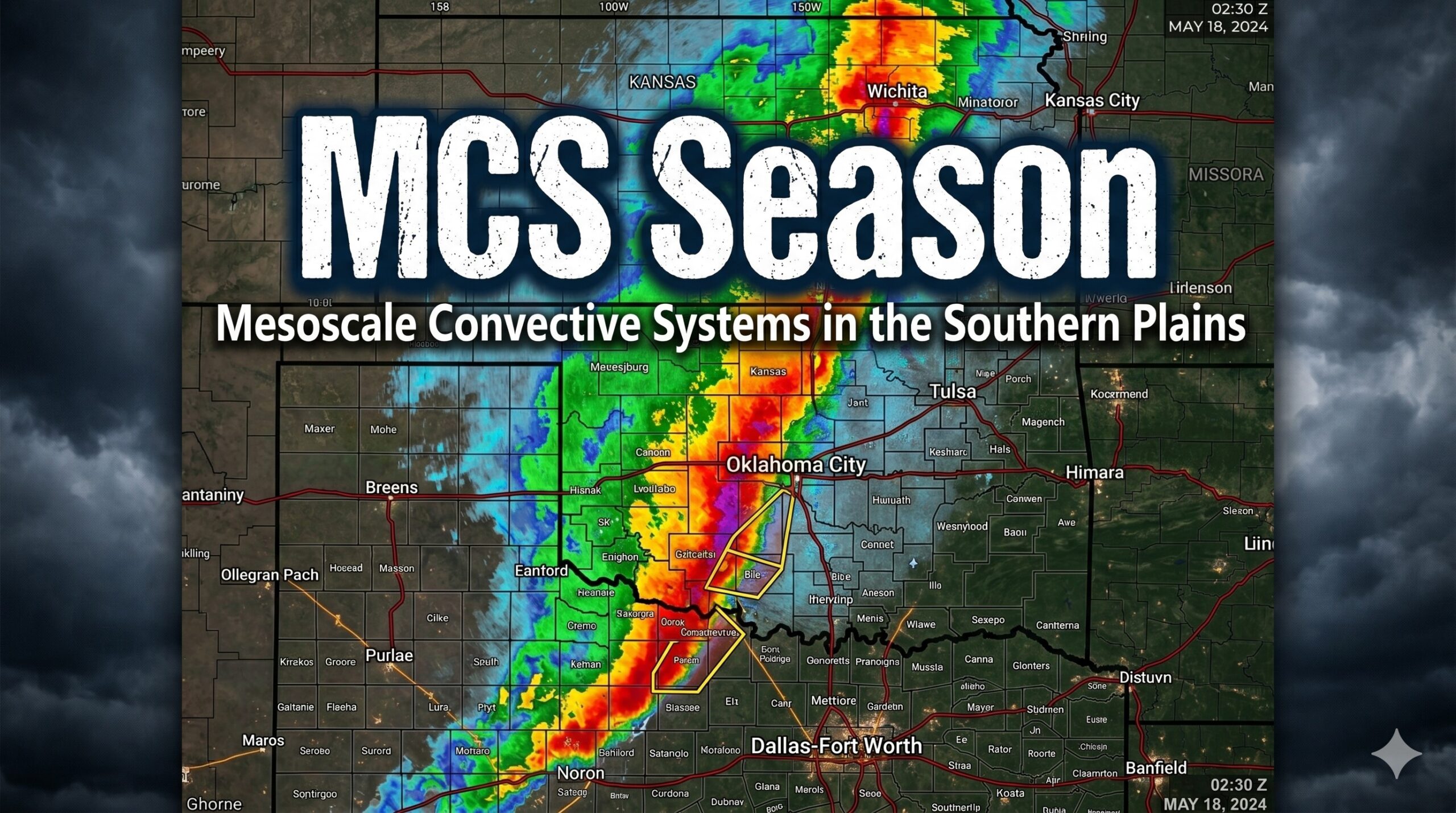
This time of year is notorious for our Mesoscale Convective Complexes to roll through at odd hours of the day and night. We’ll see a few more of these before we start to dry out over the weekend.
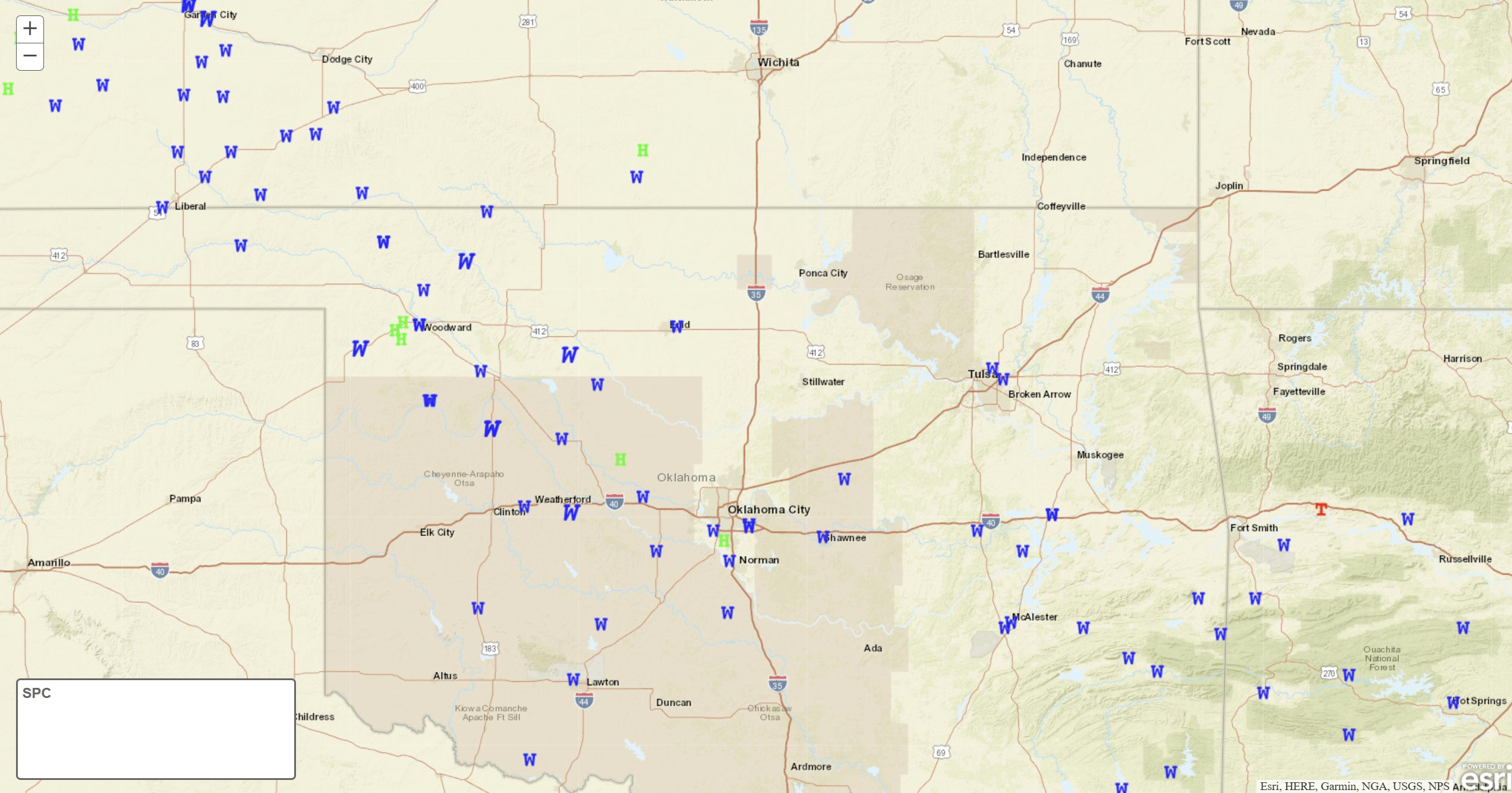
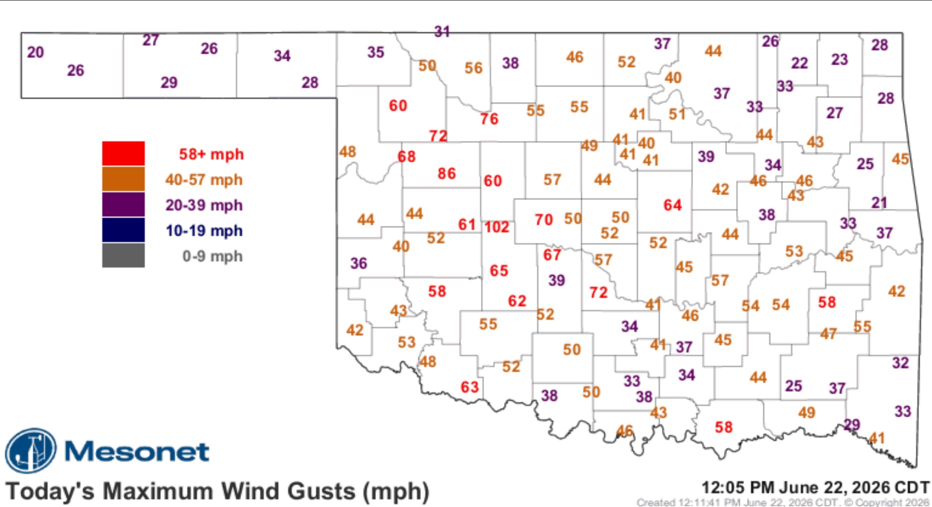
Last nights MCS was a special one. It’s called a Derecho. It’s a very strong version of an MCS (or what we used to call squall lines) that can produce significant amounts of damaging wind across a large area. Notice all of the wind reports in blue W’s and the mesonet meaurements.

Ferguson Roof Systems is offering an AT's Weather special!
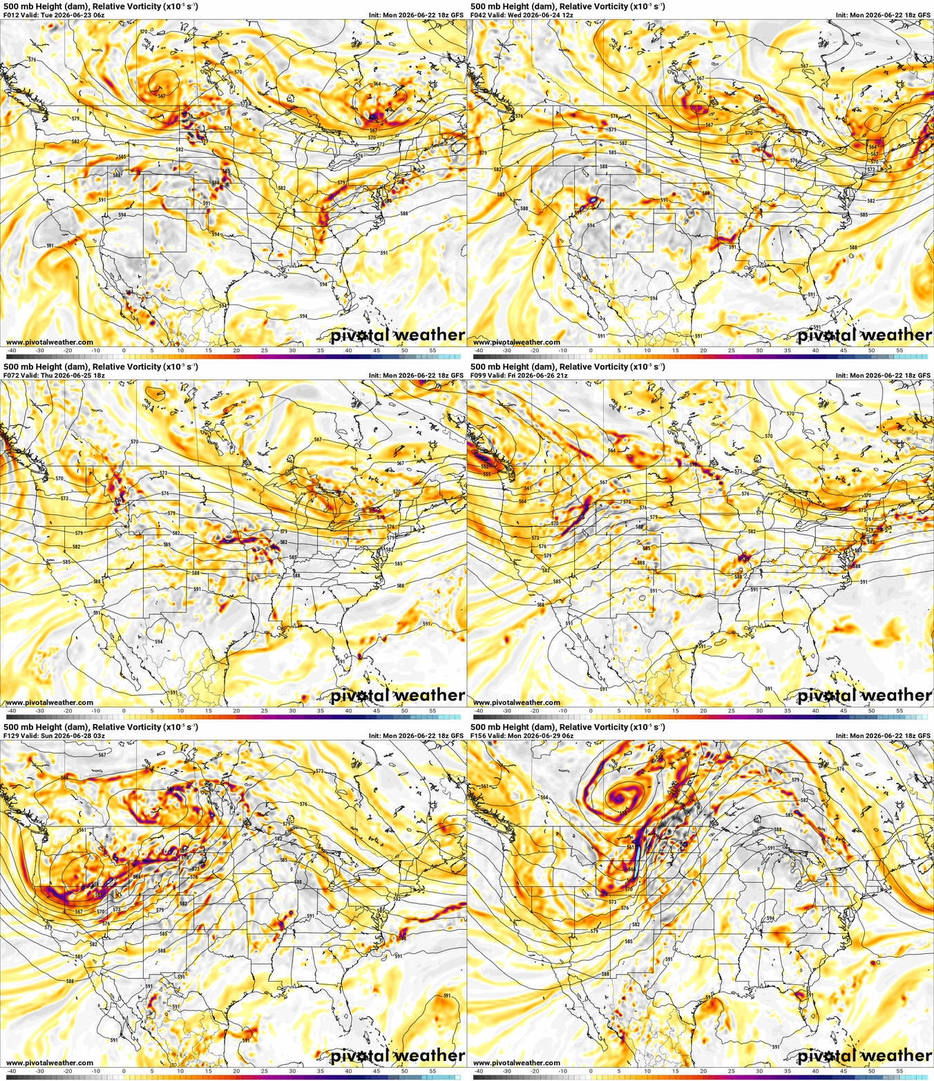
The Jetstream will stay active through Friday night before settling down and transitioning to dry and hot. Notice the bright colors (upper disturbances) just rotating through the state. Each of these will trigger showers and storms. The trick is the timing as models don’t typically grasph the placement and timing very well, they just give you the signal for it.
Other than some scattered shower or storm activity overnight and into the morning, expect an MCS to develop across the high plains tonight and roll south into Oklahoma during the afternoon and evening tomorrow. Damaging winds and pockets of hail are standard protocol. On occasion, you can get a QLCS-type tornado like we saw last night. Others will develop through the period. The long-range model radar simulation gives it’s best shot, which is a hot mess.


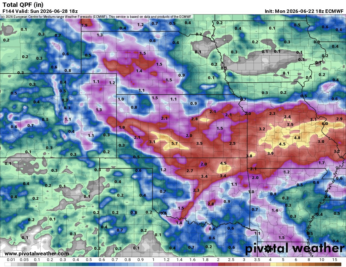
Rainfall amounts are probablematic as well. I picked the Euro which highlighted there will be some extreme pockets that can lead to flash flooding, but exact locations are always unknown until the event. So expect a few higher regions that what is shown through Sunday.
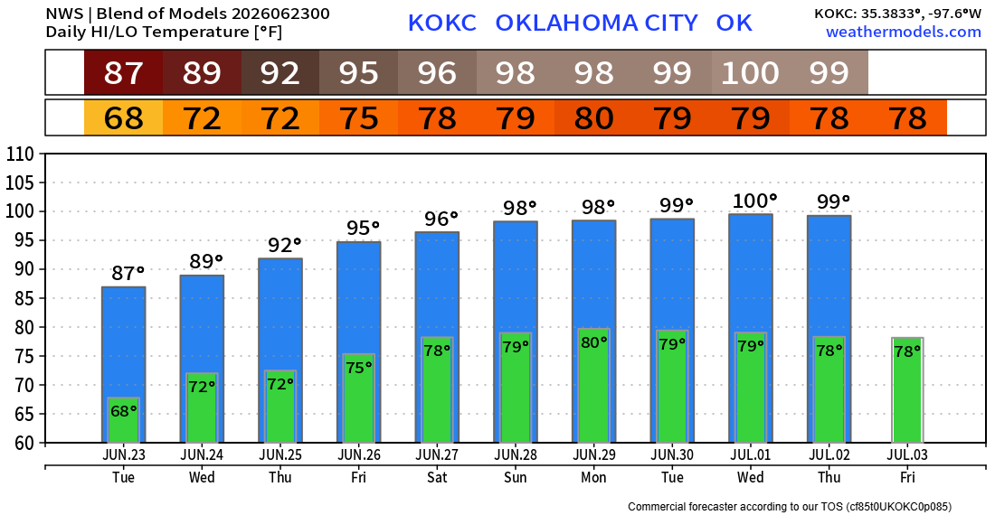
Temperatures are going to be a mix of hot and humid and mild and slightly drier. Depends on when the rain hits us each given day. One thing is for sure, the heat builds next week, so enjoy this one!
 Restoration and Disaster Cleanup Service