Thanksgiving Weather and Potential Ice Storm
I alluded to this the other day, but the upcoming pattern change is reminiscent of a typical ice storm for Oklahoma. There are a lot of details to work out, and we’ll discuss those in this week’s blog along with your Thanksgiving forecast.
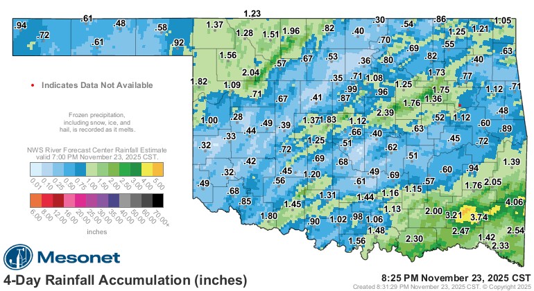
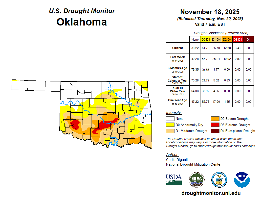
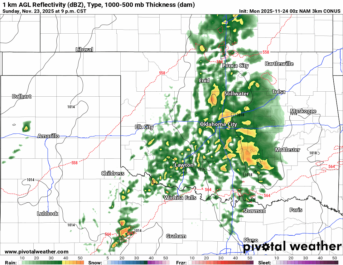
First up, the storm system bringing us the rain tonight is much needed. Along with the event last week, we received some decent rainfall. This will help slow down the drought building for a bit.

Ferguson Roof Systems is offering an AT's Weather special!
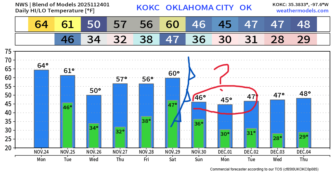
The Jetstream animation shows the one upper low moving across Monday and the next one lining up by Sunday out to our southwest. The million-dollar question is, will it come across Monday, or will it stall in the desert SW and then come across a day or two or three later? That muddies the extended forecast. It’s a coin flip at the moment, but the recent trend has been to slow it down.
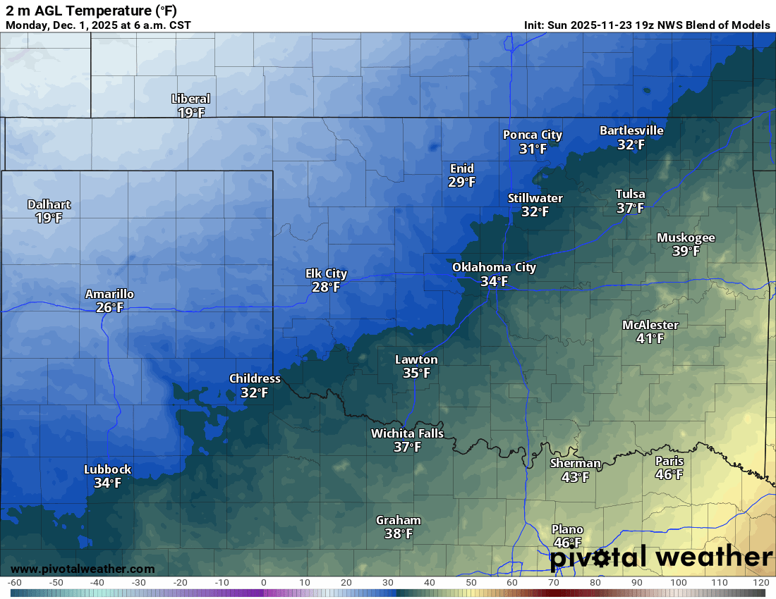
The other issue is how cold the Arctic airmass will be by the time it arrives and how much it will modify. We’ve been awfully warm across the country, and without snowpack, the airmass will moderate significantly. So our window for an ice storm may be short-lived. It’s something I’ll have to track daily in the data. Remember, if ground temperatures are warm and we can’t drop below 27 degrees, then roads will typically be okay for most of the event. Elevated surfaces will take the brunt in that case, which can lead to some power outage issues. We’re getting way ahead of ourselves, considering this is just over a week away.
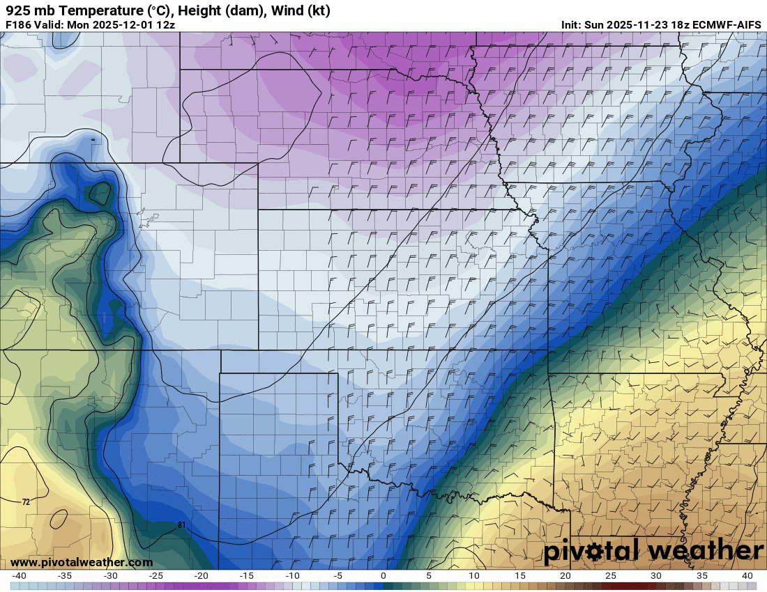
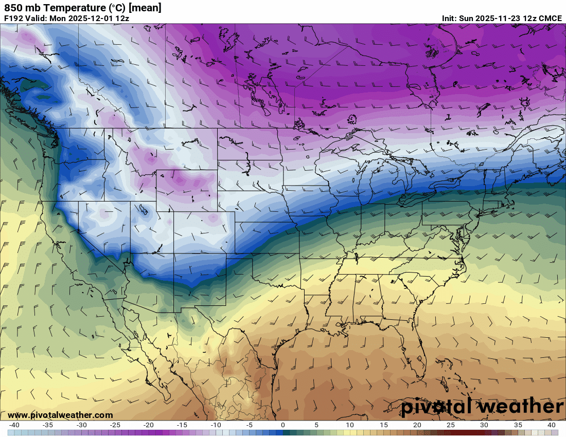
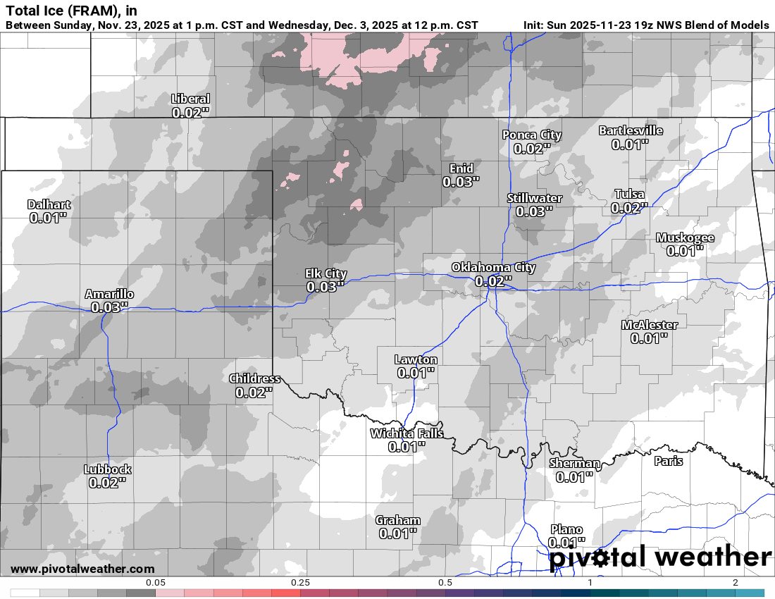
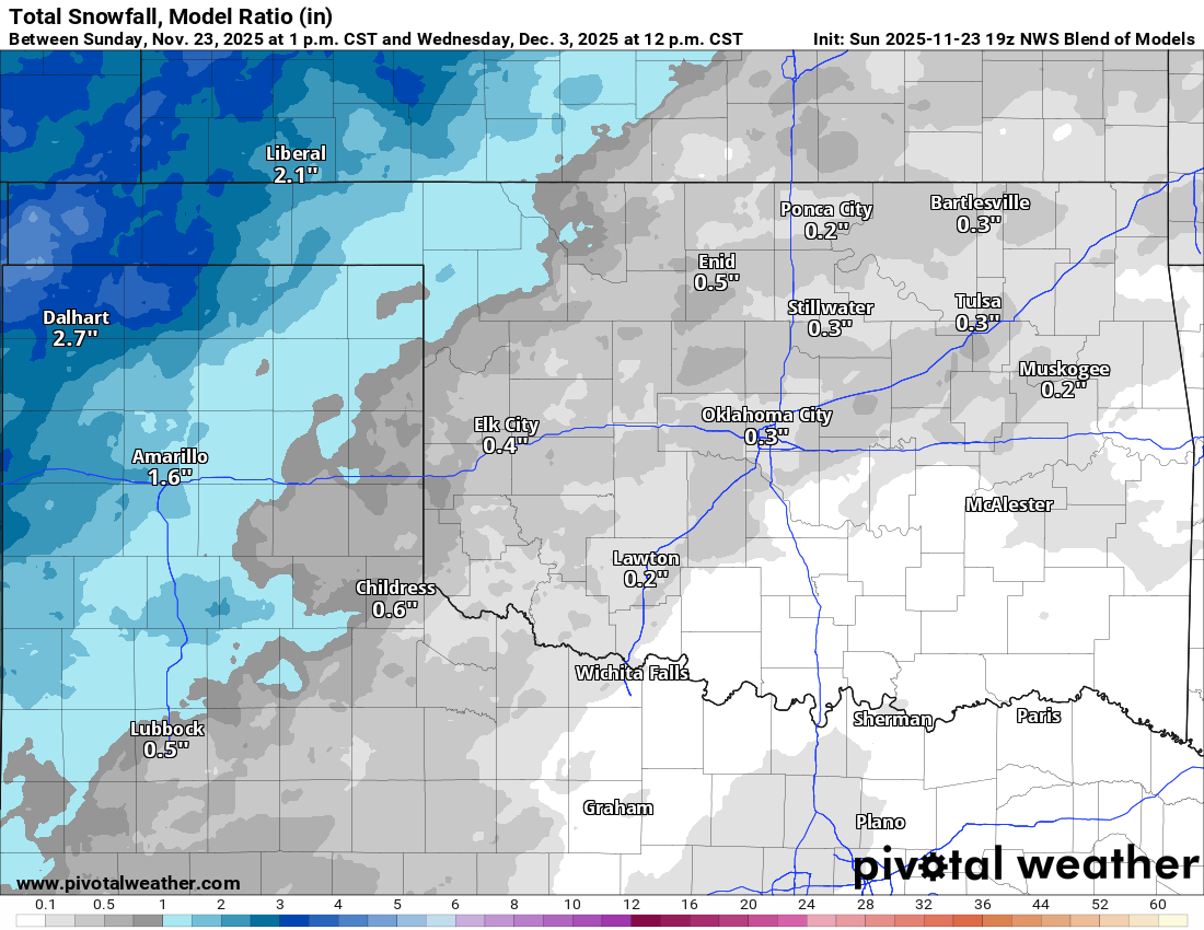
If we take a look at some of the extended model data, we can pick up on a few things. First, the Model blend (which is conservative) does have the freezing line at the surface, making it to the I-44 corridor by Monday morning. If we look upstairs to 925mb temperatures, we can see the 0 deg C (freezing line) 1000 or so feet off the ground is much deeper into Oklahoma and Texas. This is the true arctic frontal boundary. The model animation will show you how each one places it in a different position, but generally speaking the same area. The same goes for the 850mb temperature map. It has the freezing line into NW OK among the model spread. That places C OK in the warm nose aloft, which is the reason for ice and not snow.
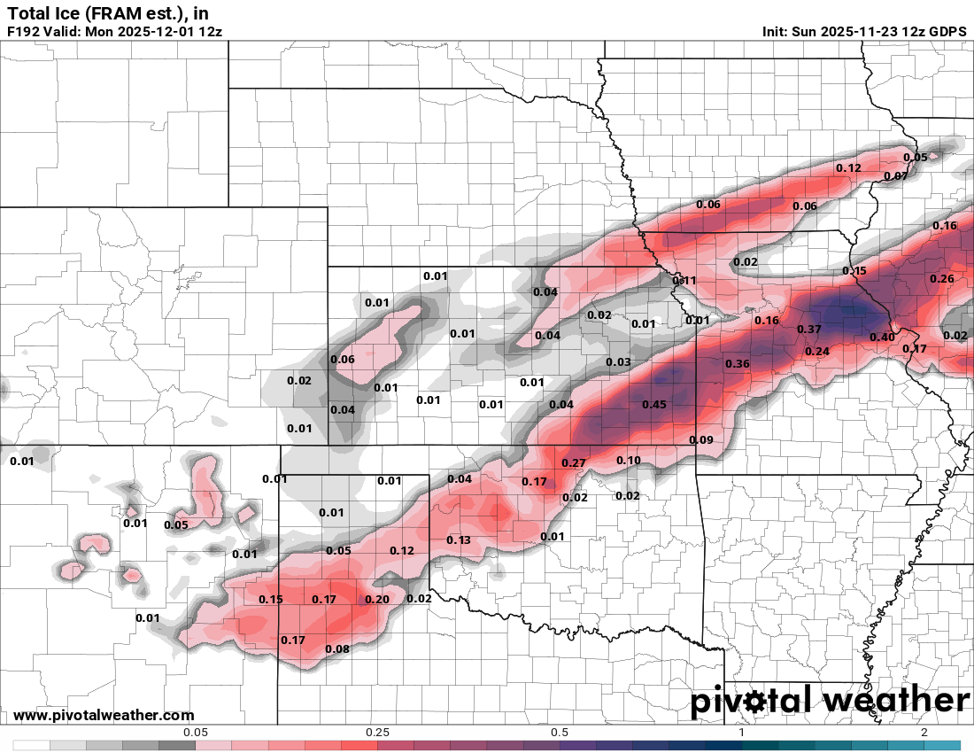
If we look at the winter precipitation output, the Canadian has a significant swath of ice accumulation across the Southern Plains. The conservative model blend just produces a light amount of ice and snow across Oklahoma. The key at this point isn’t amounts, but the signal. It’s there. So something to watch closely.

Be sure to mention Aaron Tuttle when you call (405) 820-1193!
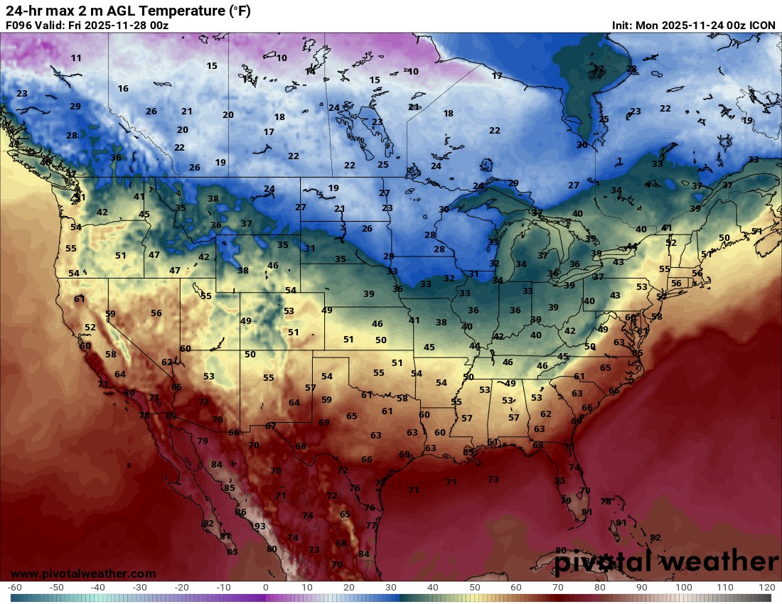
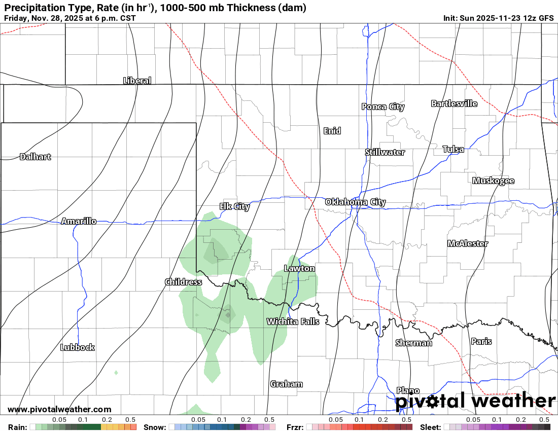
Back in the short-term, the rainfall moving through Sunday night and Monday will leave the state by evening. Thanksgiving will be decent with cool and dry weather. Also, the country will be mostly quiet as well, with the exception of the Great Lakes region and the Pacific Northwest. The next round of rain returns Saturday with the arrival of the colder air. Rainfall totals will once again be significant in many areas between the two systems.
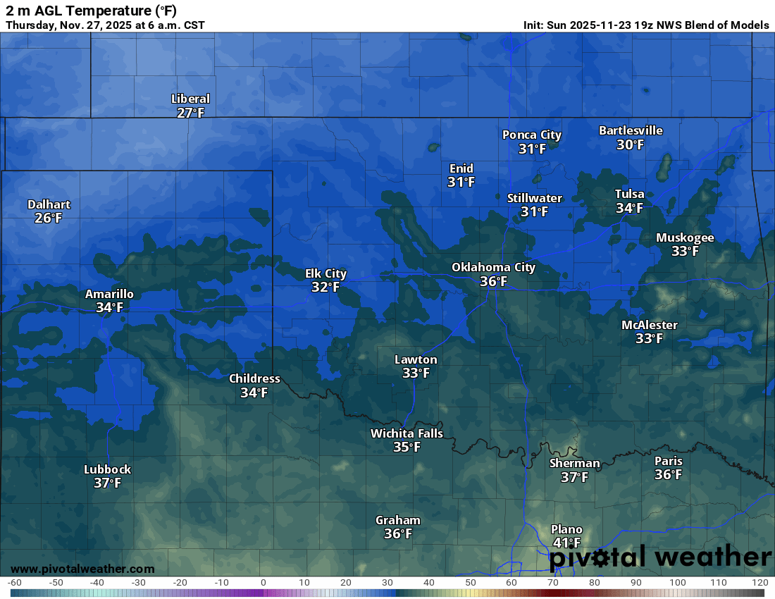
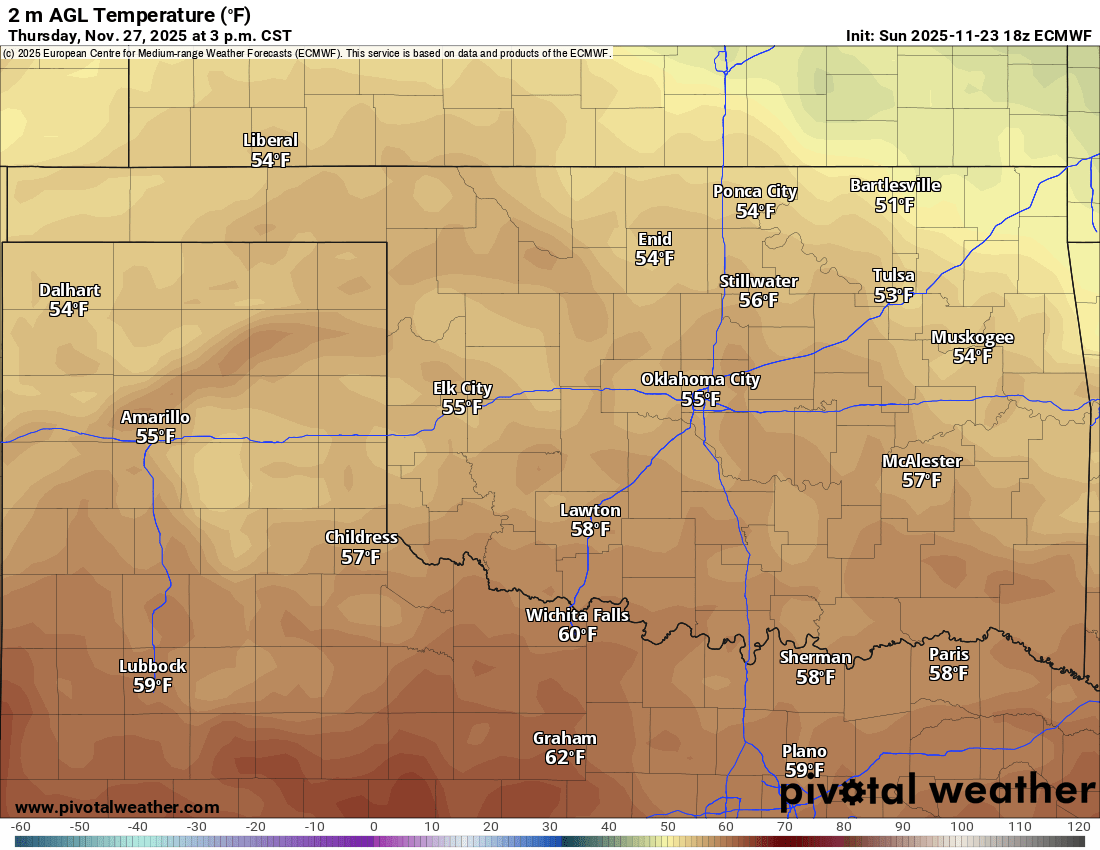
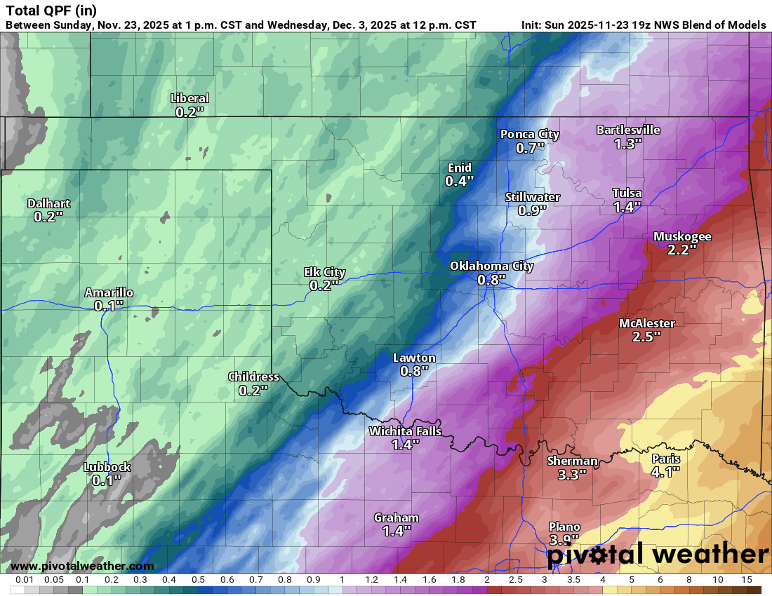
As far as the OKC temperature trend goes, pretty uneventful until the latter half of the weekend. We may not reach these warmer high temperatures. Temperatures will be colder if you live north and a little warmer if you live south. I’ll update you throughout the week. -AT