Potential Ice Storm Next Week

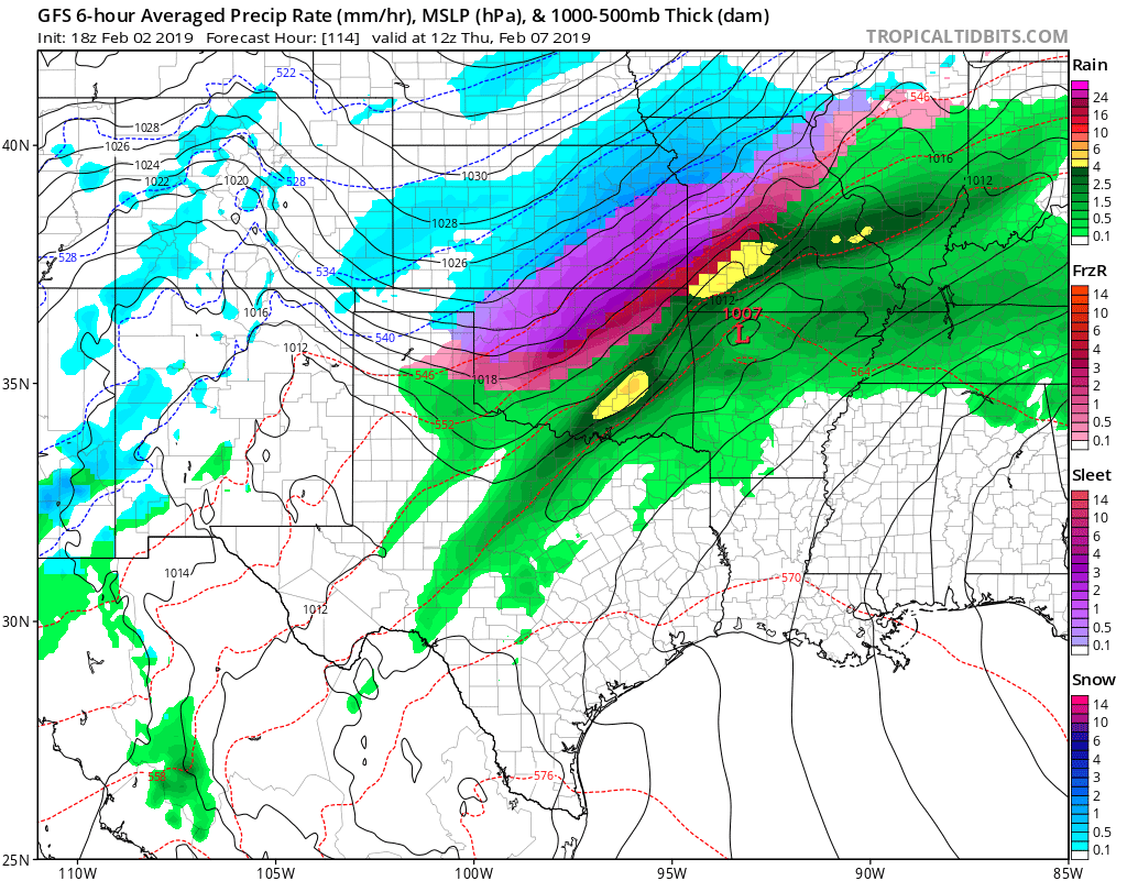
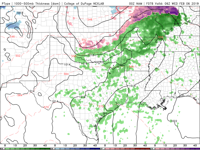
Our next winter storm may take the form of ice primarily next Wednesday night and Thursday. Amounts could be significant enough to create travel problems for that time frame and linger into Friday due to the cold arctic airmass in place. It’s still early so the details will work themselves out in the coming days, but it’s a classic pattern for this type of outcome.

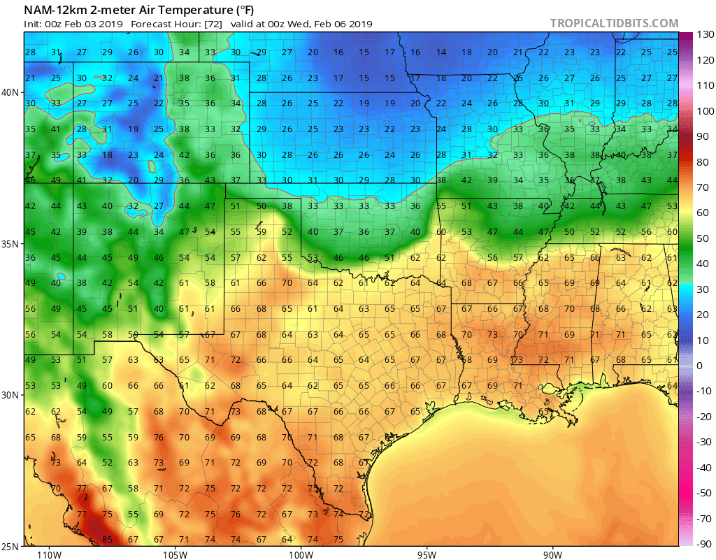
Until then, expect very nice weather Sunday and Monday with 60s widespread and including some 70s. A cold front will slip in Monday evening and set the stage for a cold week ahead. Cloud cover will develop Tuesday morning and hand around as well. Temperatures will be warmer across the S half of OK vs the N half where 20s/30s will reside.
Ferguson Roof Systems is offering an AT's Weather special, Call Today!
Weak mid level energy and upper disturbances will help to generate some light freezing drizzle and/or rain Tuesday evening through Wednesday before the main storm system arrives. This could be enough to create slick spots on roadways.
There are signals floating around for a couple more winter events in February, so stay tuned! -AT
Ferguson Roof Systems is offering an AT's Weather special, Call Today!