A Beautiful Week Ahead
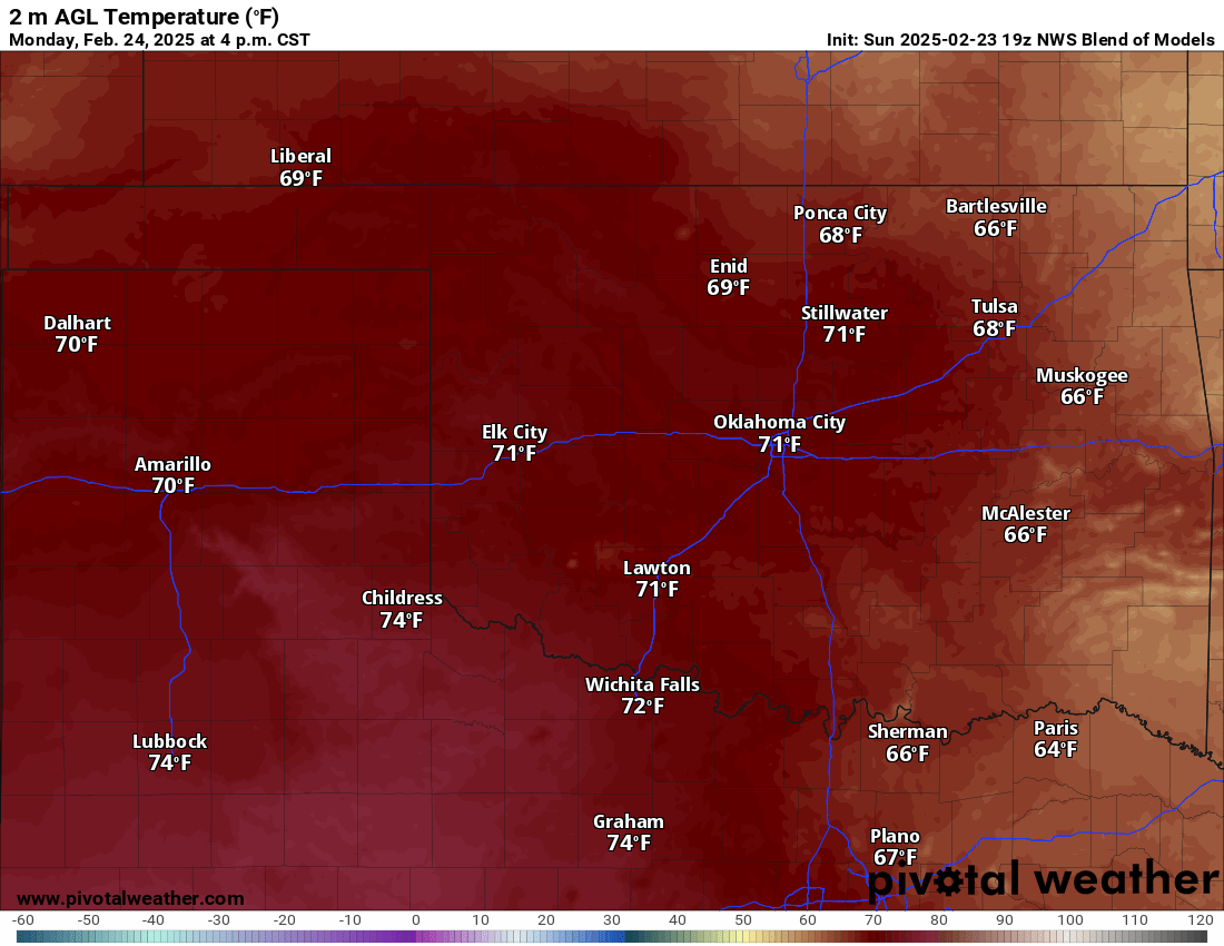
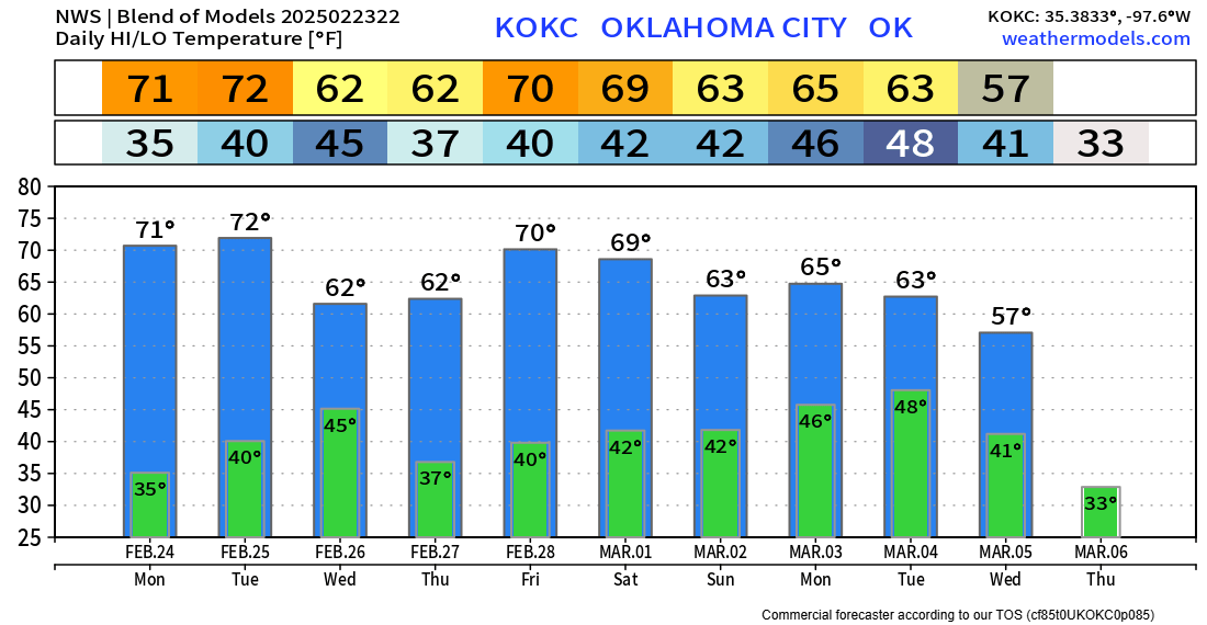
After two brutal weeks with winter storms and sub-zero temperatures, things are looking up! We hit the 70s on Sunday and we’ll going to kick-off the work week with more of that action. There will be a couple of weak cold fronts, but nothing we can’t handle. Rain returns by Sunday. Also, AT’s Weather free service ends this Saturday.
The big story will be the lack of that brutal arctic air across the country. Temperatures with respect to normal will be mostly above for the next 7 days.
 Restoration and Disaster Cleanup Service
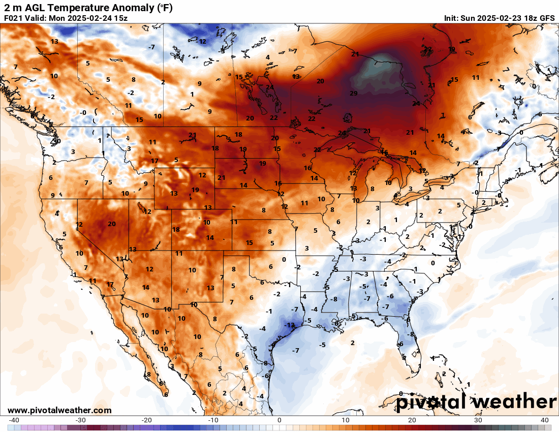
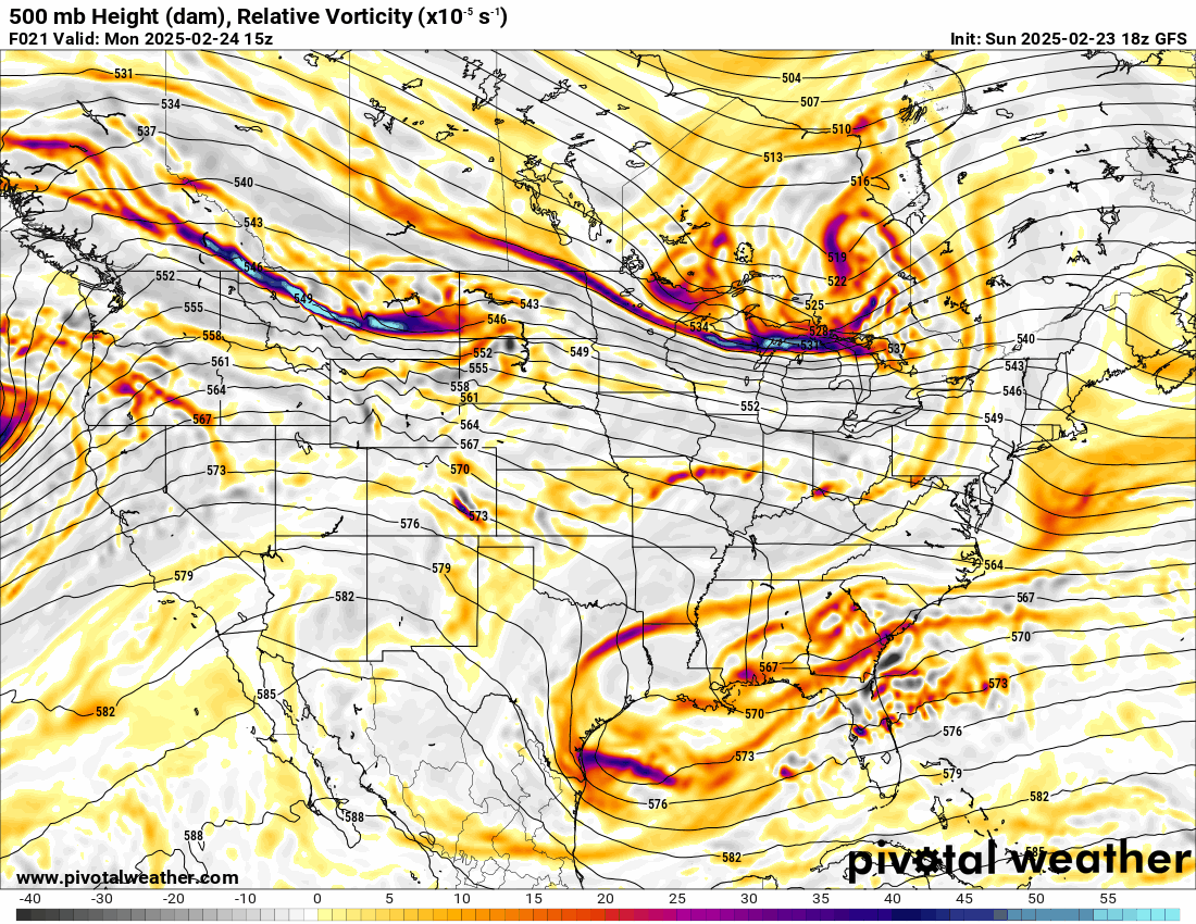
The Jetstream pattern is in a NW flow aloft. This is a mostly dry pattern and can be cool to mild depending on the source regions of airmasses. We’ll have a combination of both with a nice storm system showing up by Sunday.
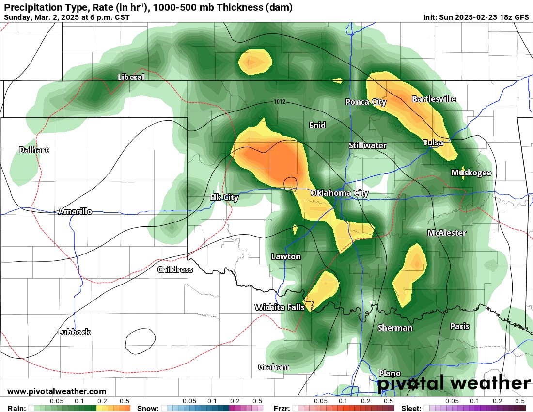
Wind shear and moisture will return on Sunday. If we can get a little more instability across Oklahoma with warmer temperatures, we might actually see some marginally severe thunderstorms. It is the 2nd of March after all!

Be sure to mention Aaron Tuttle when you call (405) 820-1193!
After a chilly start Monday morning with 30s and 40s, the 70s do return. Our nights will be much warmer than they have been recently. A front on Wednesday will bring back several 30s for Thursday morning, but those daytime high temperatures look great!
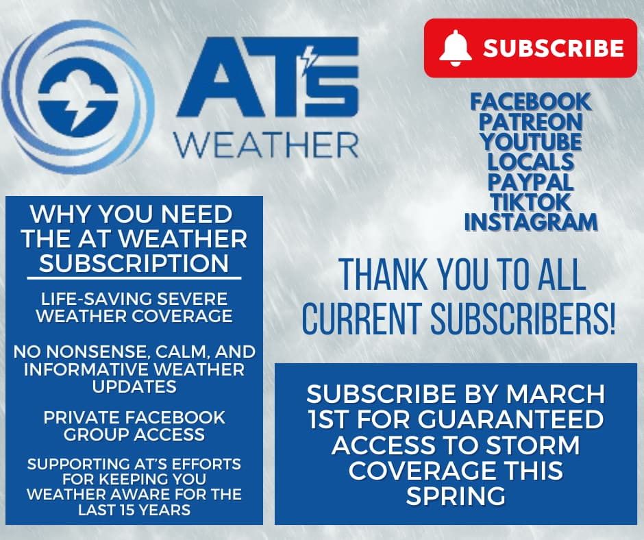
This is the last free weather blog I will be issuing. March 1st, AT’s Weather moves to a subscription-only format. Please join before the severe weather season starts. You won’t want to miss my live tornado coverage. -AT
Restoration and Disaster Cleanup ServiceSign up here: https://aarontuttleweather.com/2025/02/08/ats-weather-moves-to-subscription-based-format/