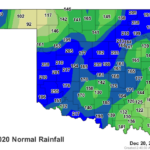
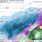
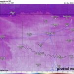
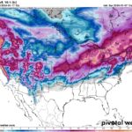
New Year’s Forecast, a New Weather Channel, and Resolution Time December 26, 2023December 26, 2023Blogs
Sponsor Highlight: All Comfort Specialist Heating & Air October 8, 2023October 9, 2023Blogs, Sponsors
Fragmented Social Media, Censorship, and Future of AT’s Weather November 8, 2020March 17, 2023Blogs, News
AT’s Weather: Recognized as a NOAA Weather-Ready Nation Ambassador April 6, 2020March 17, 2023Blogs, News
Great News! I’ve Accepted Facebook’s Invite to Create Fan Subscriptions May 18, 2019March 17, 2023Blogs, News
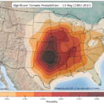
Social Media Already Buzzing Over Tornadoes, What you Need to Know May 14, 2019March 17, 2023Blogs, News
Closed Captioning Now Available During Live Severe Weather Coverage March 24, 2019March 18, 2023Blogs, News
5 Years Ago Today I Narrowly Escaped Death: The El Reno Tornado May 31, 2018March 16, 2023Blogs, News
If Your New Year Resolution is to Drop a Few Pounds, then Read This! December 31, 2017March 19, 2023Blogs, News
ATsWeatherToGo Mobile App Case Study: Emergency Management and Wildfires June 28, 2016June 28, 2016Blogs
‘ATsWeatherToGo’ Was the Only Weather App to Warn Moore OK of a Tornado March 27, 2015January 8, 2016Blogs
“ATsWeatherToGo” does it again! Gives an early warning for a tornado! December 15, 2014January 8, 2016Blogs
ATsWeatherToGo warns town of Pilger, NE 25 minutes before tornado hits June 20, 2014January 9, 2016Blogs
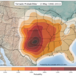
Watch how tornadoes progress across the United States throughout the year February 27, 2014January 8, 2016Blogs